Validated by North India's Developers
From municipal infrastructure to major residential townships, S.K Mapping Solutions delivers the sub-centimeter accuracy that keeps large-scale projects on schedule and legally secure.
Proven Across Major Townships
We provide critical boundary demarcation, topographic contours, and CAD-ready layouts for premier residential and commercial developments.
Unitech Group
Aagman City
Akshardham Greens
Critical boundary demarcation and site layout surveys for multi-acre commercial developments.
High-altitude drone photogrammetry and topographic contour mapping for a premier residential colony.
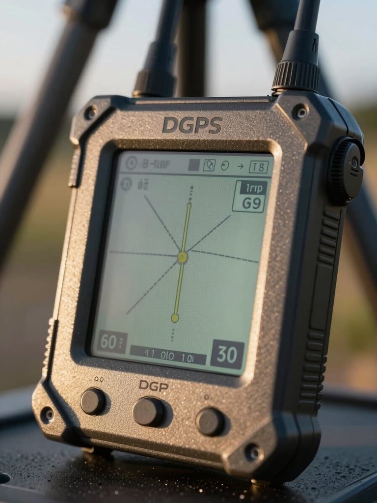
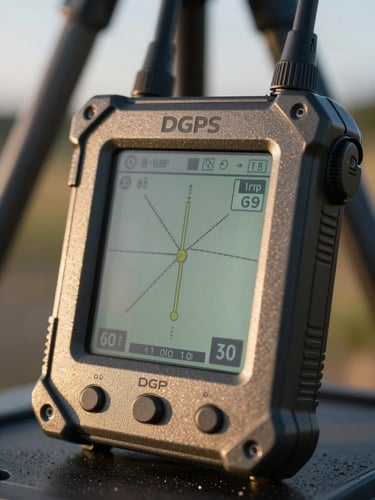
Complete site layout and road alignment surveys using dual-frequency DGPS ground control points.
What Project Managers Say
Absolute Precision
Flawless CAD Files
S.K Mapping locked down our boundaries at Lotus Valley. Their DGPS data saved us weeks of potential disputes.
The drone orthomosaic maps of Green Valley were CAD-ready and integrated directly into our engineering pipeline without errors.