


Precision Surveying & Geospatial Mapping
Engineering-grade drone photogrammetry, DGPS ground control, and topographic surveys across Uttar Pradesh. We deliver CAD-ready datasets with sub-centimeter accuracy for infrastructure and land development.
Featured Projects
Aagman City Colony
Akshardham Greens
Lotus Valley
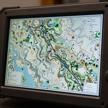
Topographic and boundary demarcation survey for a major residential expansion in Saharanpur. Delivered CAD-ready contour intervals and DGPS ground control points.
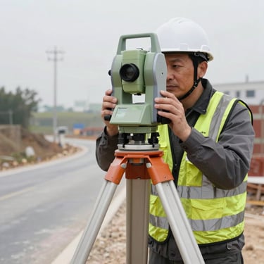
Total Station layout and site survey for commercial infrastructure development. Established precise construction control networks and as-built documentation.
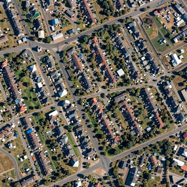
High-resolution drone survey and aerial orthomosaic mapping for site planning. Provided accurate earthwork volume calculations and boundary verification.

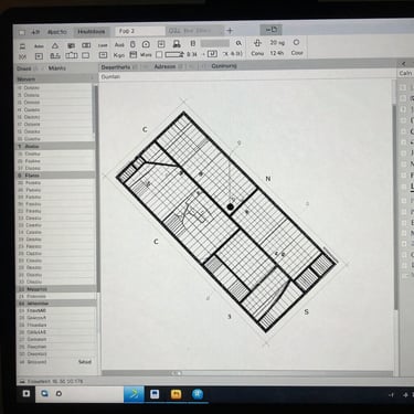
Surveying & Mapping Gallery
Visual evidence of our technical deployments, high-precision equipment setups, and CAD deliverables across municipal and private industrial projects.
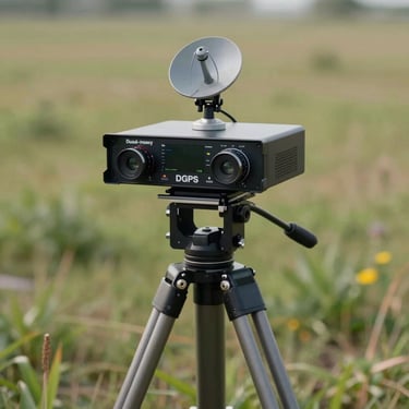
Sub-Centimeter Precision
±10mm
Before you break ground, secure the ground truth. S.K Mapping Solutions combines dual-frequency DGPS and high-altitude drone passes to eliminate boundary disputes and engineering delays.
DGPS Ground Control Accuracy