


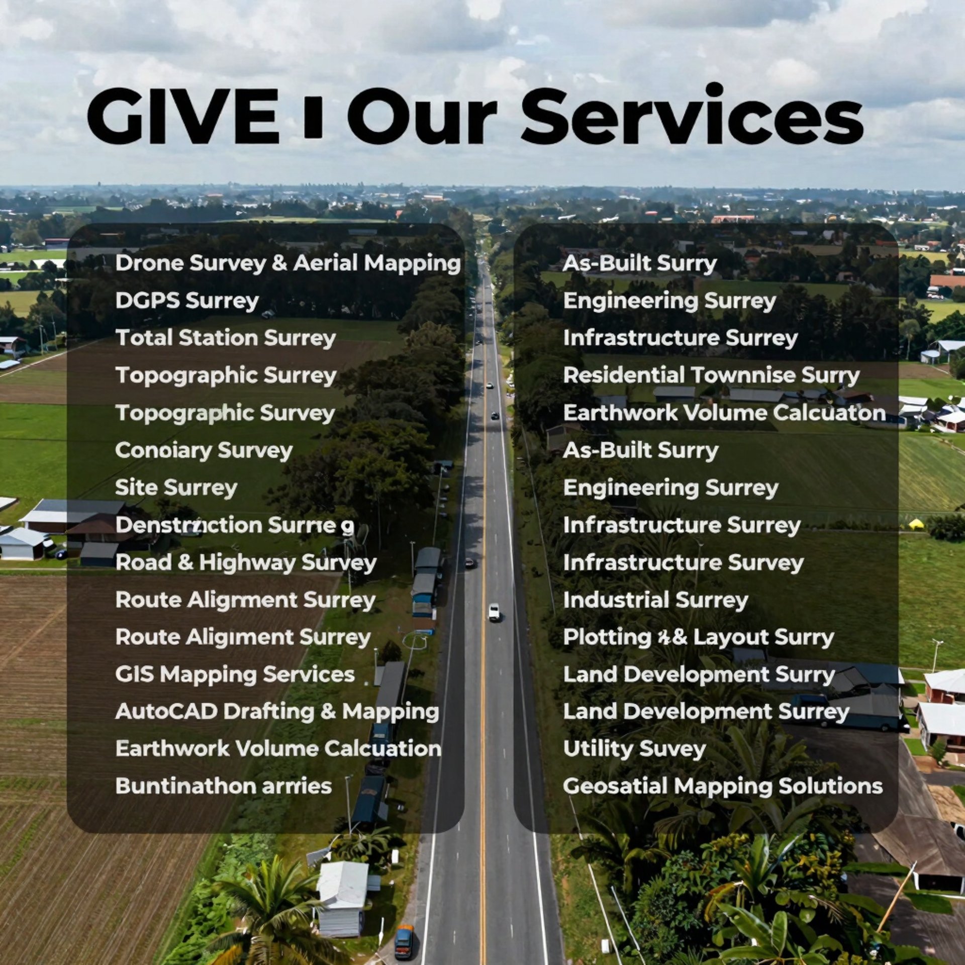
Our Services
Precision land surveying, drone mapping, and geospatial solutions.


Land Surveying
Accurate measurements for all project types.
Drone Mapping
High-resolution aerial imagery and data.
Geospatial Solutions
Technology-driven spatial analysis services.


